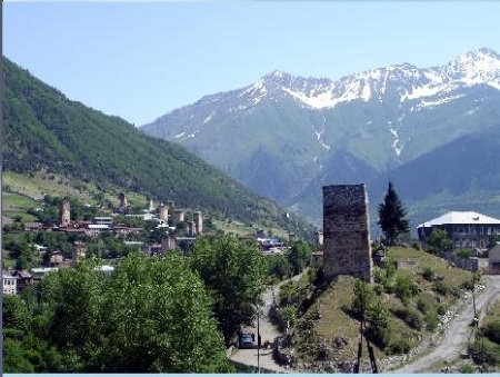
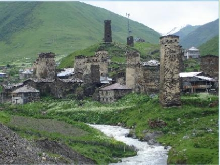
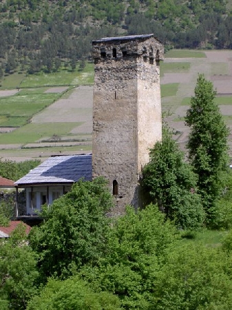
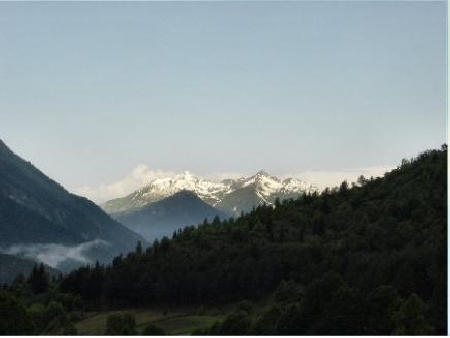
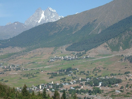
Distance from Mestia to Levanto
Distance information from Mestia, Georgia to Levanto
Geographical distance from Mestia to Levanto 2659.51 kilometers
1651.24 seven miles
1435.75 nautical miles
Road distance from Mestia to Levanto
Distance on the map From Mestia, Georgia to Levanto
Closest distances from Mestia, Georgia
| City | Distance |
| Kutaisi | 83.39 km |
| Nalchik | 84.3 km |
| Vladikavkaz | 151.45 km |
| Batumi | 178.65 km |
| T`bilisi | 221.67 km |
| Grozny | 237.04 km |
| Stavropol | 237.17 km |
| Sochi | 258.01 km |
| Armavir | 258.97 km |
| Gyumri | 261.01 km |
| Dilijan | 304.2 km |
| Vagharshapat | 339.89 km |
| Yerevan | 346.99 km |
| Erzurum | 368.62 km |
| Krasnodar | 380.56 km |
| Makhachkala | 381.99 km |
| Novorossiysk | 446.42 km |
| Ordu | 462.62 km |
| Anapa | 486.91 km |
| Volgodonsk | 504.64 km |
| Rostov-na-Donu | 528.55 km |
| Novocherkassk | 533.66 km |
| Carsamba | 541.03 km |
| Shakhty | 556.76 km |
| Astrakhan | 557.24 km |
| Taganrog | 557.96 km |
| Samsun | 567 km |
| Elazig | 568.63 km |
| Batman | 587 km |
| Bafra | 590.31 km |
Select city to calculate distance from Mestia, Georgia
Check distances from Levanto
| City | Distance |
| Monterosso al Mare | 4.34 km |
| Manarola | 12.4 km |
| Riomaggiore | 12.91 km |
| La Spezia | 18.49 km |
| Carrara | 40.27 km |
| Massa | 44.88 km |
| Corniglia | 50.95 km |
| Genoa | 59.19 km |
| Viareggio | 61.32 km |
| Lucca | 79.45 km |
Do you have a travel question?
Ask your question about travel on our Forum
Ask your question about travel on our Forum