Corbyville

Abandon House

Belleville Cityscape

Fire Escape

ESL school Belleville

Front of 10 Patterson

Swan Parents with cygnets 26May'09

Townhouses on Front Street South

Mouth of Moira and Victoria Park Marina

Wharf Debating Club

13 Queen

The Bay Bridge in winter, Belleville, Canada.

Purina Chows Elevator

Grave of Dunbar Moodie, Sheriff and his wife the author Susanna Moodie.

Night lights.

Nowhere

Remains of the Intel Building

25844484.jpg

43493867.jpg

New Court House

CP Line after snowstorm

Obscured by snow.

Mist

65689680.jpg

65689825.jpg

BELLEVILLE, ON

BELLEVILLE, ON

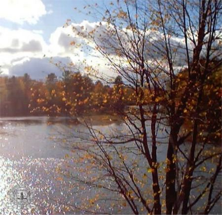
Spring Blooms

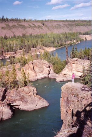
View off the bridge on county road 49 that goes from 401 to Pickton - looking East.

New Victoria St.

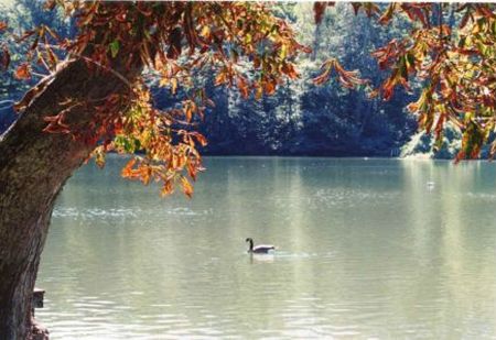
Anchorage

One Of My First HDR Images

Houses on William

First and Last Fire

Haig road

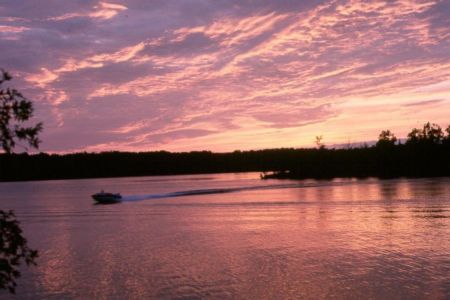
Bay bridge at twilight

Recreation trail, looking north east. PETRSC # 2. That is the Prince Edward County Trail Riders Snowmobile Club that maintains 220 km. of trails in the county as well as 50 km. of the Millennium Trail.

One room school, section # 7, 1882. It is unique with two front doors, and one window.

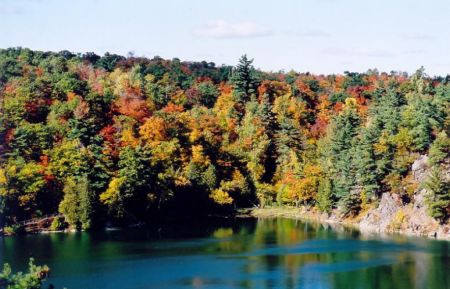
453 million year old Bobcaygeon limestone shows some gentle folding of layers. The 175 million year old, 100 km. long Salmon River fault line runs along the lake shore by the docks for this Canada Cement quarry. For comparison, the Atlantic Ocean is only 160 million years old, the dinasaurs died out 65 million years ago. There is 1.2 billion year old granite under the limestone. Note the thin the layer of clay soil on top of the rock left at the end of the ice age 12,800 years ago.

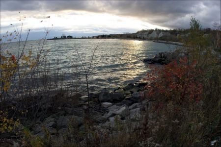
Massassauga Point Conservation Area.

Wesleyan Methodist Church, 1849. Now Active Arts, interior design.

Methodist Church 1888.

The most southerly piece of the Canadian Shield, the rock is 1.2 billion years old. This outcrop is known as a inlier, it is about 30 m. high, and covers about 10 ha. It shows up as a dark green area on the satellite photo. This whole area was once covered with a thick layer of Glenora and Picton limestone, but glaciers erroded it 2 km. southward to the escarpment on which Ameliasburg sits today.

Hwy 401

Railway bridge in Belleville. Built by the Canadian Northern Railway (CNoR) in 1912, now used by CP rail from Toronto to Ottawa through Smith Falls.

St.Michael the Archangel Roman Catholic Church, established in 1829. The church is probably newer.

This was the Grand Junction Railway (GJR) started in Belleville in 1870 and reached Peterborough in 1880. It is now a recreation trail. Looking NW.

The most southerly house in Canada on the Canadian Shield rock (granite). It was built about 1820 out of local limestone. It originally had a peak roof, the front and back walls were extended up to make 2 full stories. Currently waiting a loving massive renovation. That is the Canadian shield rock outcrop behind it.
Photos provided by Panoramio. Photos are under the copyright of their owners.