Bindook Airport

Информация об аэропорте - Bindook Airport, Австралия

Описание Значение
ИАТА
(Код аэропорта Международной ассоциации воздушного транспорта)
Нет кода ИАТА
Тип Небольшой аэропорт
Код местного аэропорта -
Код аэропорта GPS YBIK
Долгота -34.1666984558105
Широта 150.100006103516

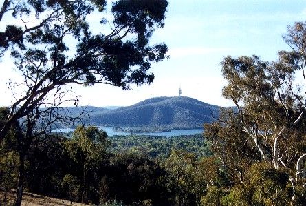
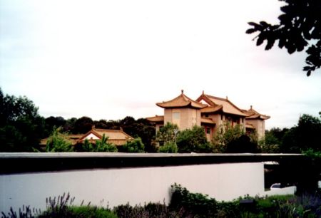
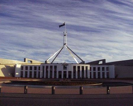
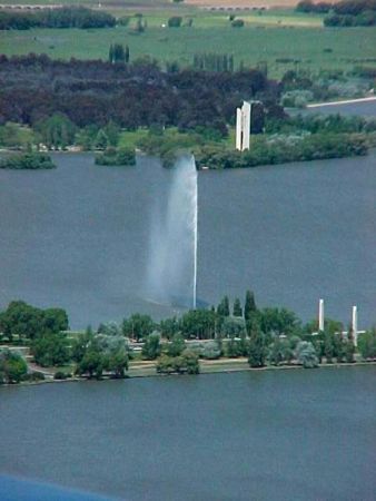
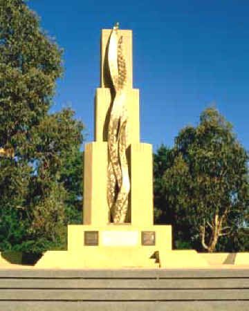
Фотографии около Bindook Airport, Австралия

shaggy pink mushroom Kowmung River at the Doris Creek junction view up Kowmung River, Ruby Creek and Burnt Hole Creek valleys, cliffs of Loombah Walls in middle ground, then across Boyd Plateau, looking up Despond Creek valley towards Mount Misery ripple bedding and fossilised ripple marks (cast side) forest on the top of Spring Ridge near Muggerah Gowar
 
Beware - Wild Dogs The Three Sisters Limburners creek The Blue Mountains Looking along Irrae Gowar Ridge towards top
 
grey gum - stringybark forest with Lomandra confertifolia understorey looking across the surface of a pool in the Kowmung towards riparian forest Hatcher's Hollow, near Redcliff Creek, Upper Kowmung looking from Manga Ridge towards Sorrow Spur Kowmung River near Hatcher's Hollow
 
view from Hatcher's Hollow up towards Irrae Gowar Limburners creek Kowmung River   

Фотографии Bindook Airport
Есть ли у вас вопрос про путешествия?
Задайте свой вопрос о путешествиях на нашем форуме!

Фото альбом

Австралия, Канберра, АСТ