Toggle navegación
Búsqueda
Nepal
más detalles
país
Afganistán
Albania
Alemania
Andorra
Angola
Anguilla
Antigua y Barbuda
Antillas Neerlandesas
Arabia Saudita
Argelia
Argentina
Armenia
Aruba
Australia
Austria
Azerbaiyán
Bahamas
Bahrein
Bangla Desh
Barbados
Belice
Benín
Bermudas
Bhután
Bielorrusia
Bolivia
Bosnia - Herzegovina
Botswana
Brasil
Brunei
Bulgaria
Burkina Faso
Burundi
Bélgica
Cabo Verde
Caimán, islas
Caledonia, Nueva
Camboya (Kampuchea)
Camerún
Canadá
Chad
Checa, República
Chile
China
Chipre
Christmas, Isla
Cocos (Keeling), Islas
Colombia
Comores
Congo, República Democrática del
Congo, República Popular del
Corea del Norte
Corea del Sur
Costa de Marfil
Costa Rica
Croacia
Cuba
Dinamarca
Djibouti (Yibuti)
Dominica
Dominicana, República
Ecuador
Egipto
El Salvador
Emiratos Árabes Unidos
Eritrea
Eslovaquia
Eslovenia
España
Estados Unidos
Estonia
Etiopía
Falkland, Islas (Islas Malvinas)
Feroe, Islas
Fidji
Filipinas
Finlandia
Francia
Gabón
Gambia
Georgia
Ghana
Gibraltar
Grecia
Grenada
Groenlandia
Guadalupe
Guam
Guatemala
Guayana Francesa
Guernsey
Guinea
Guinea Ecuatorial
Guinea-Bissau
Guyana
Haití
Honduras
Hong Kong
Hungría
India
Indonesia
Irak (Iraq)
Irlanda
Irán
Islandia
Islas Cook
Israel
Italia
Jamaica
Japón
Jersey
Jordania
Kazajstán
Kenia
Kirguizistán (Kirguizia)
Kiribati
Kuwait
Laos
Lesotho
Letonia
Liberia
Libia
Liechtenstein
Lituania
Luxemburgo
Líbano
Macao
Macedonia (antigua república federada de Yugoslavia)
Madagascar
Malasia
Malawi
Maldivas
Malta
Malí
Marianas Septentrionales
Marruecos
Marshall, Islas
Martinica
Mauricio
Mauritania
Mayotte (Mahoré)
Micronesia, Estados Federados de
Moldavia
Mongolia
Montenegro
Montserrat
Mozambique
Myanmar
México
Mónaco
Namibia
Nauru
Nepal
Nicaragua
Nigeria
Niue (Savage)
Norfolk, Isla
Noruega
Nueva Zelanda
Níger
Omán
Pakistán (Paquistán)
Palau
Panamá
Papúa y Nueva Guinea
Paraguay
Países Bajos
Perú
Pitcairn, Islas
Polinesia Francesa
Polonia
Portugal
Puerto Rico
Qatar
Reino Unido de Gran Bretaña e Irlanda
República Centroafricana
Reunión
Ruanda (Rwanda)
Rumania
Rusia
Sahara Occidental
Saint Helena (Santa Elena)
Salomón, Islas
Samoa
Samoa Norteamericana
San Cristóbal y Nevis
San Marino
San Pedro y Mequelón
San Vicente y Granadinas
Santa Lucía
Santo Tomé y Príncipe
Senegal
Serbia
Seychelles
Sierra Leona
Singapur
Siria
Somalia
Sri Lanka (Shri Lanka)
Sudáfrica
Sudán
Suecia
Suiza
Surinam
Svalbard
Swaziland
Tailandia
Taiwán
Tanzania
Tayikistán
Timor Oriental
Togo
Tokelau
Tonga
Trinidad y Tobago
Turkmenistán
Turks y Caicos, Islas
Turquía
Tuvalu
Túnez
Ucrania
Uganda
Uruguay
Uzbekistán
Vanuatu
Venezuela
Vietnam
Vírgenes Estadounidenses, Islas
Wallis y Futuna
Yemen
Zambia
Zimbabwe
Katmandú
más detalles
ciudad
Bhaktapur (Bhadgaon)
Katmandú
Siddharthanagar
Publicidad gratuita
Contactos
Phaplu Airport (PPL)
Nepal
List of airports Nepal
Phaplu Airport
Información sobre el aeropuerto - Phaplu Airport, Nepal
Descripción
Valor
IATA
(Código del aeropuerto International Air Transport Association)
PPL
Tipo
Pequeño aeropuerto
Código del aeropuerto local
-
Código del aeropuerto del GPS
VNPL
Longitud
27.5177868809
Latitud
86.5844535828
Fotos cerca Phaplu Airport, Nepal
Fotos de Phaplu Airport
Materiales informativos - Katmandú
Precios, costo de la vida Katmandú
Tiempo Katmandú
Huso horario - Katmandú, Nepal
tiempo - Katmandú, Nepal
Mapa de Katmandú
Bandera nacional Nepal
Katmandú - prefijo telefónico, cómo llamar a Katmandú
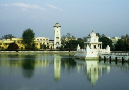
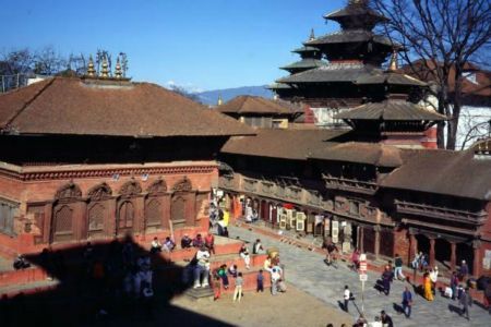
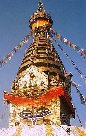
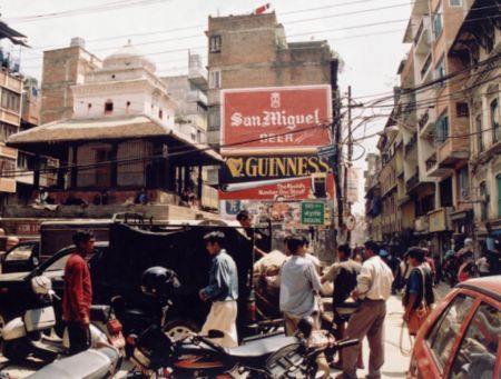
Fotos de Katmandú
Distancias desde Katmandú, Nepal
Materiales informativos - Nepal
Moneda Nepal, Rupia nepalesa
Calculadora de moneda rupia nepalesa
Embajadas Nepal
Mapa de Nepal
Lista de aeropuertos Nepal
galería de fotos
Nepal, Katmandú
Añadir su foto
Fotos de Katmandú »