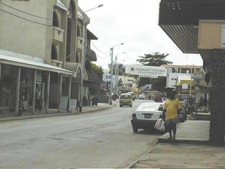
Distance from Port-Vila to Tula
Distance information from Port-Vila, Vanuatu to Tula
Geographical distance from Port-Vila to Tula 14191.54 kilometers
8812.61 seven miles
7662.53 nautical miles
Road distance from Port-Vila to Tula
Distance on the map From Port-Vila, Vanuatu to Tula
Closest distances from Port-Vila, Vanuatu
| City | Distance |
| Mata-Utu (on Ile Uvea) | 379.38 km |
| Noumea | 550.78 km |
| Nadi | 962.41 km |
| Pacific Harbour | 1030.67 km |
| Kadavu | 1043.08 km |
| Suva | 1068.23 km |
| Savusavu | 1171.41 km |
| Kingston | 1266.36 km |
| Honiara | 1289.41 km |
| Funafuti | 1553.4 km |
| Nuku`alofa | 1766.13 km |
| Hervey Bay | 1819.67 km |
| Bundaberg | 1839.22 km |
| Gladstone-Tannum Sands | 1897.04 km |
| Brisbane, QLD | 1911 km |
| Yaren | 1912.1 km |
| Byron Bay | 1935.97 km |
| Ballina | 1954.01 km |
| Rockhampton | 1962.07 km |
| Toowoomba | 2007.11 km |
| Kerikeri | 2028.81 km |
| Russell | 2037.21 km |
| Paihia | 2038.7 km |
| Mackay, QLD | 2046.42 km |
| Coffs Harbour | 2085.36 km |
| Apia | 2169.59 km |
| Tarawa | 2181.09 km |
| Port Macquarie | 2183.07 km |
| Auckland | 2226.54 km |
| Pago Pago | 2270.17 km |
Do you have a travel question?
Ask your question about travel on our Forum
Ask your question about travel on our Forum