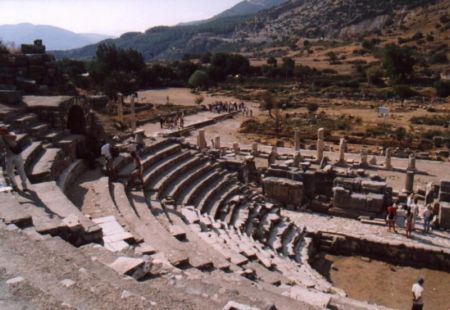
Distance from Bafra to Dover Kent
Distance information from Bafra, Turkey to Dover Kent
Geographical distance from Bafra to Dover Kent 2828.79 kilometers
1756.19 seven miles
1527 nautical miles
Road distance from Bafra to Dover Kent
Distance on the map From Bafra, Turkey to Dover Kent
Closest distances from Bafra, Turkey
| City | Distance |
| Samsun | 48.01 km |
| Carsamba | 79.66 km |
| Tokat | 147.41 km |
| Ordu | 180.48 km |
| Sivas | 222.22 km |
| Ankara | 313.97 km |
| Kayseri | 318.5 km |
| Nevsehir | 342.31 km |
| Eregli | 375.36 km |
| Novorossiysk | 382.08 km |
| Sochi | 386.2 km |
| Anapa | 386.74 km |
| Sevastopol | 390.37 km |
| Aksaray | 390.61 km |
| Simferopol | 404.97 km |
| Malatya | 412.12 km |
| Nigde | 413.34 km |
| Elazig | 427.84 km |
| Eupatoria | 453.83 km |
| Krasnodar | 459.75 km |
| Sakarya | 470.15 km |
| Batumi | 481.5 km |
| Erzurum | 487.65 km |
| Eskişehir | 496.19 km |
| Osmaniye | 500.23 km |
| Konya | 503.65 km |
| Izmit | 506.15 km |
| Adana | 510.38 km |
| Gaziantep | 516.4 km |
| Derince | 517.56 km |
Select city to calculate distance from Bafra, Turkey
Check distances from Dover Kent
| City | Distance |
| Bologne sur mer | 52.22 km |
| Tunbridge Wells | 73.37 km |
| Dunkirk | 75.15 km |
| De Panne | 89.42 km |
| Colchester | 89.91 km |
| Brighton | 107.12 km |
| London | 108.13 km |
| Ostend | 111.36 km |
| Bethune | 114.54 km |
| Roeselare | 128.6 km |
Do you have a travel question?
Ask your question about travel on our Forum
Ask your question about travel on our Forum