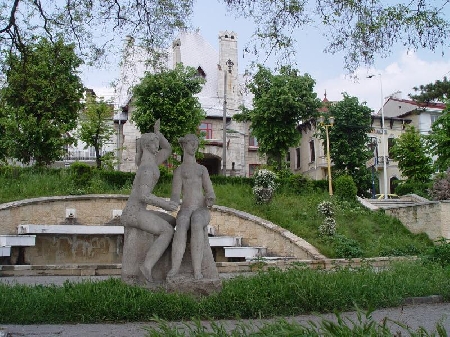
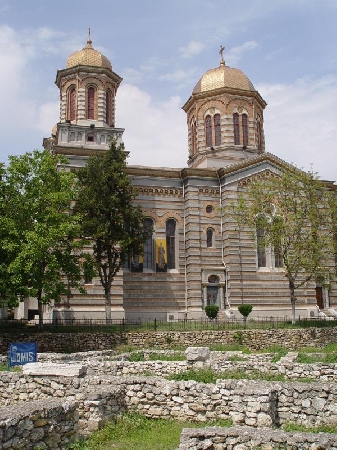
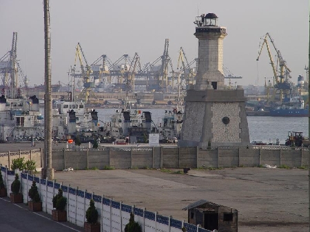
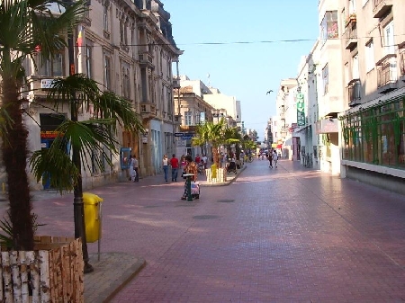
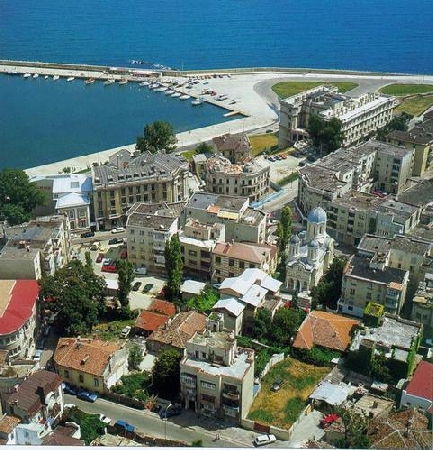
Distance from Constanta to Port-Vila
Distance information from Constanta, Romania to Port-Vila
Geographical distance from Constanta to Port-Vila 15252.66 kilometers
9471.49 seven miles
8235.42 nautical miles
Road distance from Constanta to Port-Vila
Distance on the map From Constanta, Romania to Port-Vila
Closest distances from Constanta, Romania
| City | Distance |
| Golden sands | 110.49 km |
| Varna | 121.66 km |
| Braila | 134.8 km |
| Galati | 146.65 km |
| Pomorie | 197.1 km |
| Bucharest | 202.03 km |
| Burgas | 209.14 km |
| Sozopol | 209.85 km |
| Ruse | 217.3 km |
| Ploiesti | 223.09 km |
| Sinemorets | 241.36 km |
| Brasov | 289.09 km |
| Kırklareli | 294.7 km |
| Odessa | 301.52 km |
| Chisinau | 316.77 km |
| Edirne | 325.53 km |
| Iasi | 341.74 km |
| Istanbul | 350.06 km |
| Craiova | 384.76 km |
| Plovdiv | 387.93 km |
| Eupatoria | 390.3 km |
| Derince | 391.36 km |
| Izmit | 393.91 km |
| Eregli | 394.33 km |
| Yalova | 395.21 km |
| Sibiu | 396.69 km |
| Golcuk | 397.06 km |
| Sevastopol | 400.09 km |
| Beltsy | 402.05 km |
| Sakarya | 405.84 km |
Select city to calculate distance from Constanta, Romania
Check distances from Port-Vila
| City | Distance |
| Mata-Utu (on Ile Uvea) | 379.38 km |
| Noumea | 550.78 km |
| Nadi | 962.41 km |
| Pacific Harbour | 1030.67 km |
| Kadavu | 1043.08 km |
| Suva | 1068.23 km |
| Savusavu | 1171.41 km |
| Kingston | 1266.36 km |
| Honiara | 1289.41 km |
| Funafuti | 1553.4 km |
Do you have a travel question?
Ask your question about travel on our Forum
Ask your question about travel on our Forum