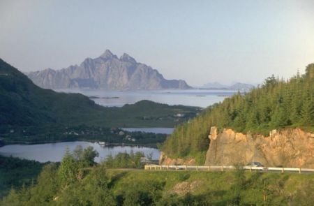
Distance from Alta to Aliaga
Distance information from Alta, Norway to Aliaga
Geographical distance from Alta to Aliaga 3473.97 kilometers
2156.73 seven miles
1875.27 nautical miles
Road distance from Alta to Aliaga
Distance on the map From Alta, Norway to Aliaga
Closest distances from Alta, Norway
| City | Distance |
| Tromso | 169.36 km |
| Narvik | 286.65 km |
| Murmansk | 399.43 km |
| Bodo | 466.94 km |
| Mo i Rana | 554.13 km |
| Umeå | 695.92 km |
| Ostersund | 844.49 km |
| Joensuu | 868.48 km |
| Sundsvall | 883.34 km |
| Trondheim | 918.06 km |
| Severodvinsk | 926.01 km |
| Severodvinsk | 926.73 km |
| Tampere | 943.1 km |
| Longyearbyen | 945.25 km |
| Pori | 946.16 km |
| Arkhangelsk | 952.21 km |
| Lahti | 1005.58 km |
| Petrozavodsk | 1036.99 km |
| Turku | 1059.83 km |
| Vyborg | 1060.79 km |
| Gävle | 1070.63 km |
| Kotka | 1070.67 km |
| Molde | 1071.64 km |
| Mora | 1073.27 km |
| Vantaa | 1079.08 km |
| Espoo | 1087.46 km |
| Helsinki | 1092.52 km |
| Mariehamn | 1108.56 km |
| Borlänge | 1114.36 km |
| Alesund | 1125.79 km |
Do you have a travel question?
Ask your question about travel on our Forum
Ask your question about travel on our Forum