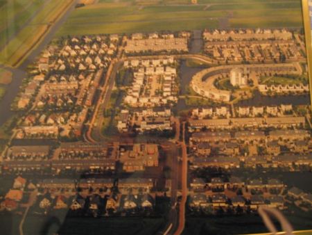
Map of Emmeloord
Emmeloord Geographic Longitude: 5.7605
Emmeloord Geographic Latitude: 52.7092
* Click and drag maps to view adjacent sections immediately. View satellite images of your desired location that you can zoom and pan.
Netherlands, other maps:
Map of Aalten Map of Alkmaar Map of Almelo Map of Almere Map of Amersfoort Map of Amsterdam
Do you have a travel question?
Ask your question about travel on our Forum
Ask your question about travel on our Forum