Vlieland Heliport

Information about airport - Vlieland Heliport, Netherlands

Description Value
IATA
(International Air Transport Association airport code)
No IATA code
Type Heliport
Local airport code -
GPS airport code EHVL
Longitude 53.2966651916504
Latitude 5.08583307266235

Cities near Vlieland Heliport, Netherlands

City, country Distance (km)
Alkmaar 78.07 km
Zaanstad 95.63 km
Groningen 99.4 km

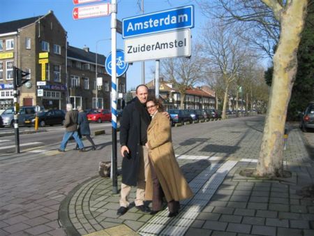
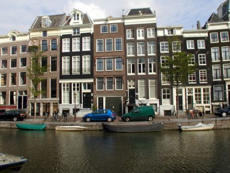
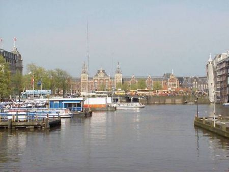
Pictures near Vlieland Heliport, Netherlands

The sea and the sun Vlielander-dunes, glimpse onto Terschelling Oost-Vlieland Vlieland rink febr. panorama Terschelling / Spathoek
 
Perfect reflection Waddenzee bij Vlieland Evening sun Beach near pole 1 Terschelling Oosterstrand op Vlieland
 
Noordzeestrand Vlieland Dunes North coast Terschelling Vlieland thistle Stortemelk anno 1999 Darkly cloud over Terschelling
 
View to the lighthouse Nieuwe kooi. Vlieland Eidereenden op Vlieland Vissen op het Noordzeestrand Vlieland de Torenvijver.
 

Pictures of Vlieland Heliport