Soesterberg Air Base (UTC)
Information about airport - Soesterberg Air Base, Netherlands
|
Cities near Soesterberg Air Base, Netherlands
| City, country | Distance (km) |
| Amersfoort | 9.23 km |
| Utrecht | 11.8 km |
| Hilversum | 12.63 km |
| Ede | 28.47 km |
| Almere | 28.82 km |
| Amsterdam | 39.52 km |
| Gouda | 40.75 km |
| Hoofddorp | 44.82 km |
| Arnhem | 46.85 km |
| Hertogenbosch | 47.79 km |
| Apeldoorn | 48 km |
| Zaanstad | 48.02 km |
| Nijmegen | 51.49 km |
| Haarlem | 51.66 km |
| Leiden | 53.54 km |
| Zoetermeer | 54.02 km |
| Dordrecht | 55.58 km |
| Rotterdam | 60.04 km |
| Tilburg | 63.32 km |
| Delft | 63.85 km |
| The Hague (s-Gravenhage) | 66.24 km |
| Alkmaar | 66.69 km |
| Breda | 69.04 km |
| Zwolle | 70.07 km |
| Eindhoven | 77.33 km |
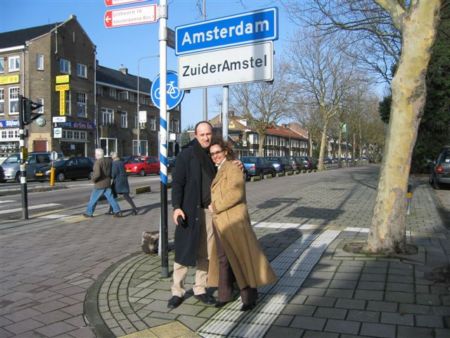
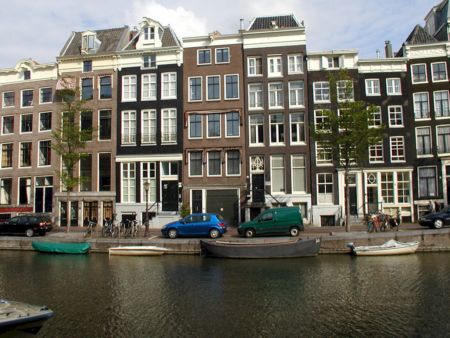
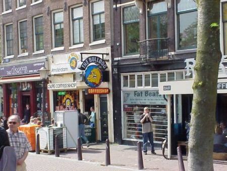
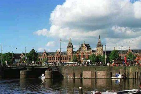
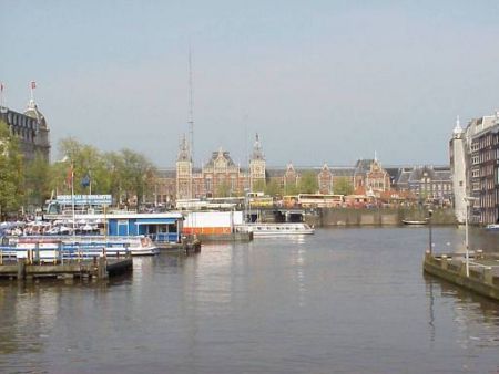
Pictures near Soesterberg Air Base, Netherlands


Do you have a travel question?
Ask your question about travel on our Forum
Ask your question about travel on our Forum