Bashur Airfield

Information about airport - Bashur Airfield, Iraq

Description Value
IATA
(International Air Transport Association airport code)
No IATA code
Type Small airport
Local airport code -
GPS airport code ORBR
Longitude 36.5336990356
Latitude 44.3399009705

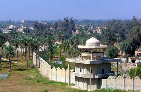
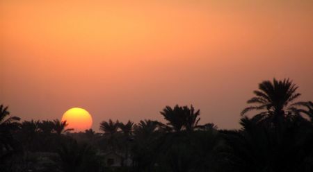
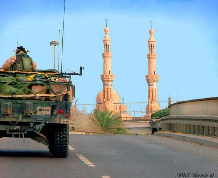
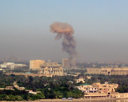
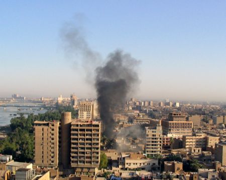
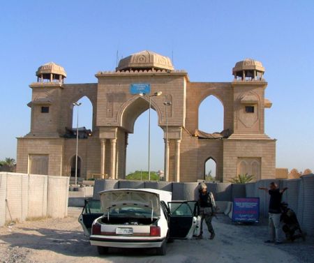
Pictures near Bashur Airfield, Iraq

Waterfall in northern Iraq (Kali Ali Beak)  24/9/2010   By FO CORK Mountain covered with clouds in (Rawanduz) area .. منظر لجبل كورك مغطى بالغيوم في منطقة رواندوز   23/4/2011 .. By FO سروشتى كوردستان له به هار ريكاى كه لى على به ك نحت مدخل في الجبل -  By FO    1/1/2008
 
خه ره ند و بيرؤ - رواندز The beautiful Harir area ..الجبال والسهول في منطقة حرير الجميلة    23/4/2011 .. By FO Tourist homes on the edge of the river ..بيوت سياحية جميلة في منطقة كلي علي بيك وعلى حافة مياه النهر المرتفع منسوبة    23/4/2011 .. By FO The beautiful Harir area ..الجبال والسهول في منطقة حرير الجميلة    23/4/2011 .. By FO كه لى على بك له ده فه رى رواندز
 
سه يران به بؤنه ى نه وروز   21/3/2010 Entry to the Strait of Mount Gali Ali Beck  14/3/2011  By FO من اجمل المشاهد الشمس مع اعمدة الكهرباء  6/10/2010 Sunset, beautiful with electricity towers By FO In the Harer  airport  runway .. من على مدرج الطائرات في مطار حرير القديم  23/4/2011 .. By FO Green grass on a cloudy day in  Harer Plain area .. الاعشاب الخضراء في يوم غائم في منطقة سهل حرير  24/3/2011 .. By FO
 
The beautiful Harir area ..الجبال والسهول في منطقة حرير الجميلة    23/4/2011 .. By FO تحدي لاخذ مكان من الطريق  We are friends  By FO ريكاى سه ختى كه ليته شلال بيخال Green plains and the clouds ..السهول الخضراء والغيوم في سهل منطقة حرير    23/4/2011 .. By FO
 

Pictures of Bashur Airfield
Book hotel
From:
Until:

Photo gallery

Iraq, Baghdad