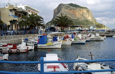
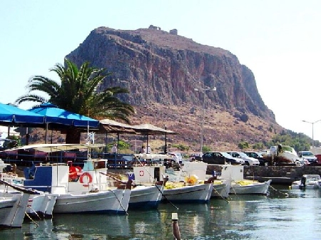
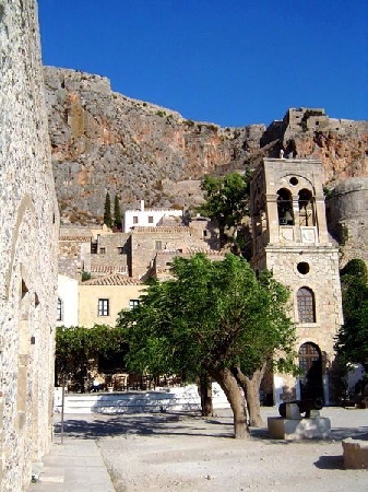
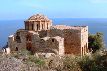
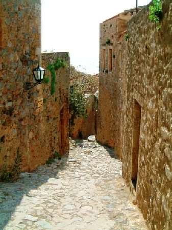
Distance from Monemvasia to De Panne
Distance information from Monemvasia, Greece to De Panne
Geographical distance from Monemvasia to De Panne 2278.33 kilometers
1414.64 seven miles
1230.02 nautical miles
Road distance from Monemvasia to De Panne
Distance on the map From Monemvasia, Greece to De Panne
Closest distances from Monemvasia, Greece
| City | Distance |
| Sparta | 69.93 km |
| Argos | 109.32 km |
| Tripoli | 109.57 km |
| Aegina (Aegina Island) | 122.58 km |
| Athens | 155.29 km |
| Chania | 156.88 km |
| Olympia | 165.4 km |
| Paros | 192.21 km |
| Delphi | 205.69 km |
| Patrai | 209.05 km |
| Andros (Andro) | 210.15 km |
| Naxos (Chora) | 212.17 km |
| Santorini | 214.36 km |
| Zakynthos | 226.31 km |
| Skiathos | 278.1 km |
| Ierapetra | 305.84 km |
| Urla | 375.03 km |
| Kos | 376.98 km |
| Bodrum | 391.64 km |
| Lesvos | 392.3 km |
| Kusadasi | 394.72 km |
| Izmir | 410.63 km |
| Aliaga | 417.08 km |
| Milas | 426.02 km |
| Corfu | 426.22 km |
| Thessaloniki | 439.63 km |
| Manisa | 441.51 km |
| Aydin | 443.38 km |
| Turgutlu | 457.21 km |
| Rhodes | 463 km |
Do you have a travel question?
Ask your question about travel on our Forum
Ask your question about travel on our Forum