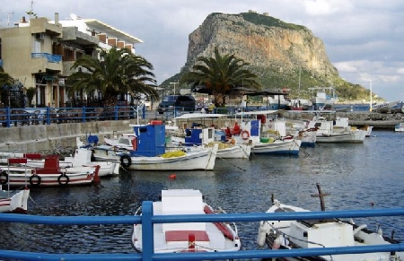
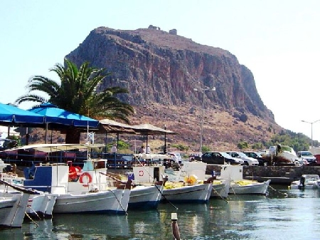
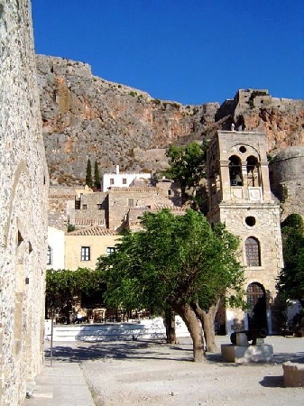
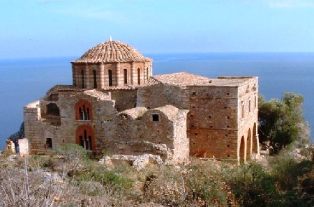
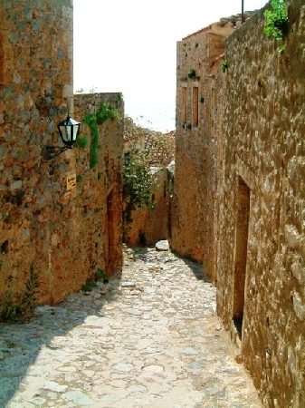
Distance from Monemvasia to Cottbus
Distance information from Monemvasia, Greece to Cottbus
Geographical distance from Monemvasia to Cottbus 1811.36 kilometers
1124.63 seven miles
977.86 nautical miles
Road distance from Monemvasia to Cottbus
Distance on the map From Monemvasia, Greece to Cottbus
Closest distances from Monemvasia, Greece
| City | Distance |
| Sparta | 69.93 km |
| Argos | 109.32 km |
| Tripoli | 109.57 km |
| Aegina (Aegina Island) | 122.58 km |
| Athens | 155.29 km |
| Chania | 156.88 km |
| Olympia | 165.4 km |
| Paros | 192.21 km |
| Delphi | 205.69 km |
| Patrai | 209.05 km |
| Andros (Andro) | 210.15 km |
| Naxos (Chora) | 212.17 km |
| Santorini | 214.36 km |
| Zakynthos | 226.31 km |
| Skiathos | 278.1 km |
| Ierapetra | 305.84 km |
| Urla | 375.03 km |
| Kos | 376.98 km |
| Bodrum | 391.64 km |
| Lesvos | 392.3 km |
| Kusadasi | 394.72 km |
| Izmir | 410.63 km |
| Aliaga | 417.08 km |
| Milas | 426.02 km |
| Corfu | 426.22 km |
| Thessaloniki | 439.63 km |
| Manisa | 441.51 km |
| Aydin | 443.38 km |
| Turgutlu | 457.21 km |
| Rhodes | 463 km |
Select city to calculate distance from Monemvasia, Greece
Check distances from Cottbus
| City | Distance |
| Zielona Gora | 83.42 km |
| Dresden | 88.85 km |
| Berlin | 106.01 km |
| Decin | 109.53 km |
| Potsdam | 112.02 km |
| Liberec | 120.88 km |
| Usti nad labem | 123.41 km |
| Gorzow Wielkopolski | 124.73 km |
| Legnica | 140.42 km |
| Chemnitz | 142 km |
Do you have a travel question?
Ask your question about travel on our Forum
Ask your question about travel on our Forum