Hohenfels Army Air Field

Information about airport - Hohenfels Army Air Field, Germany

Description Value
IATA
(International Air Transport Association airport code)
No IATA code
Type Medium airport
Local airport code -
GPS airport code ETIH
Longitude 49.2181015014648
Latitude 11.8360996246338

Cities near Hohenfels Army Air Field, Germany

City, country Distance (km)
Nuremberg 60.29 km

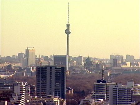
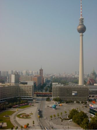
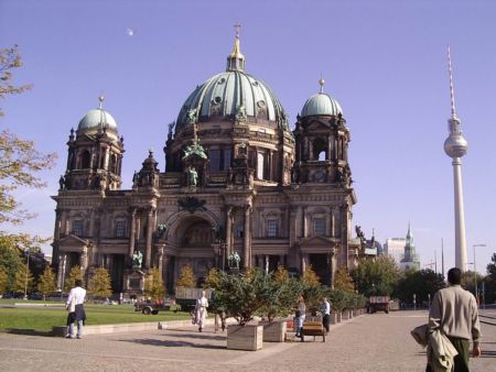
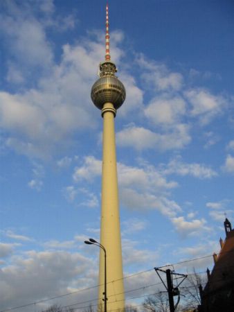
Pictures near Hohenfels Army Air Field, Germany

Kapelle in Rohrbach Heimkehrerkapelle bei Schmidmühlen Schloss in Rohrbach Schmidmühlen Richtung Regensburg Kapelle von Rohrbach
 
Ostbayernhalle & Reitanlage Reitpfad um Ostbayernhalle In der Nähe von Emhof
 
Kleinheitzenhofen Fünf-Flüsse_RW ****    

Pictures of Hohenfels Army Air Field
Book hotel
From:
Until:

Photo gallery

Germany, Berlin