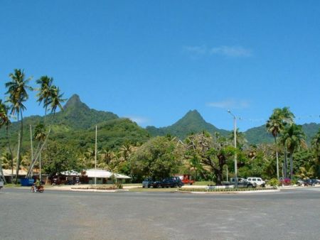
Map of Avarua
Avarua Geographic Longitude: -159.7754
Avarua Geographic Latitude: -21.2351
* Click and drag maps to view adjacent sections immediately. View satellite images of your desired location that you can zoom and pan.
Do you have a travel question?
Ask your question about travel on our Forum
Ask your question about travel on our Forum