Lanklaar heliport

Information about airport - Lanklaar heliport, Belgium

Description Value
IATA
(International Air Transport Association airport code)
No IATA code
Type Heliport
Local airport code -
GPS airport code EBDL
Longitude 51.017650604248
Latitude 5.69970321655273

Cities near Lanklaar heliport, Belgium

City, country Distance (km)
Maastricht 18.77 km
Aachen 38.32 km
Eindhoven 50.06 km
Monchengladbach 55.09 km
Malmedy 69.91 km
Tilburg 75.55 km
Duesseldorf 78.86 km
Hertogenbosch 80.24 km
Namur 85.31 km
Cologne 88.83 km
Breda 90.23 km
Nijmegen 91.13 km
Antwerp 93.28 km
Brussels 95.8 km

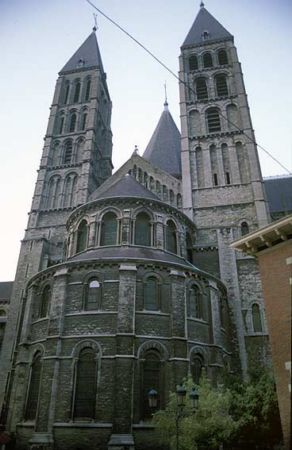
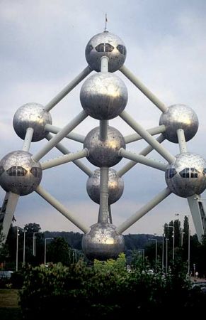
Pictures near Lanklaar heliport, Belgium

my "X" tree MAASMECHELEN national park HOGE KEMPEN  "sunrise" (december contest) MAASMECHELEN national park HOGE KEMPEN OLD CARRIAGE 2  (upside down reflection) face2face with Harry Legs
 
Urmond Terpkerk mist Chemicall explosion /DSM Die Kirche von Heppeneert! the border
 
national park HOGE KEMPEN "early morning sun" viewpoint national park HOGE KEMPEN 22dec2007 MAASMECHELEN national park HOGE KEMPEN View nearby Elsloo, The Netherlands Immer schön am selben Strang in dieselbe Richtung ziehen! Und das auf der Grenze zwischen den Niederlanden und Belgien!
 
Springpond(enlarge) the MAAS river (1) BE - Maasmechelen - Outlet Center Flood near Stein A2 Industrieel hart van Limburg
 

Pictures of Lanklaar heliport
Book hotel
From:
Until:

Photo gallery

Belgium, Brussels