Holsbeek heliport
Information about airport - Holsbeek heliport, Belgium
|
Cities near Holsbeek heliport, Belgium
| City, country | Distance (km) |
| Brussels | 27.35 km |
| Antwerp | 41.02 km |
| Aalst | 48.82 km |
| Namur | 50.69 km |
| Enghien | 54.76 km |
| Charleroi | 59.4 km |
| La Louviere | 61.9 km |
| Maastricht | 68.54 km |
| Gent | 72.72 km |
| Breda | 75.2 km |
| Tilburg | 77.01 km |
| Eindhoven | 77.31 km |
| Aachen | 96.3 km |
| Hertogenbosch | 96.32 km |
| Dordrecht | 97.34 km |
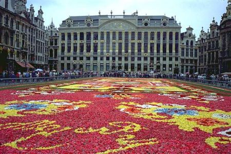
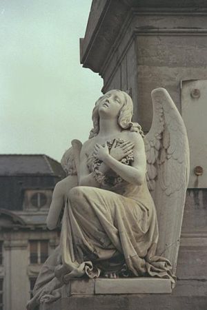
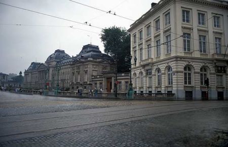
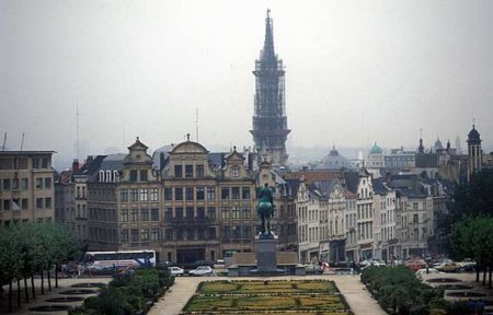
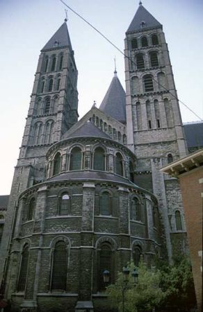
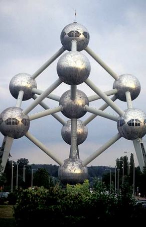
Pictures near Holsbeek heliport, Belgium


Do you have a travel question?
Ask your question about travel on our Forum
Ask your question about travel on our Forum