Brasschaat Air Base
Information about airport - Brasschaat Air Base, Belgium
|
Cities near Brasschaat Air Base, Belgium
| City, country | Distance (km) |
| Antwerp | 15.58 km |
| Breda | 33.41 km |
| Tilburg | 47.02 km |
| Dordrecht | 51.16 km |
| Aalst | 55.33 km |
| Brussels | 56.4 km |
| Middelburg | 63.09 km |
| Gent | 63.31 km |
| Rotterdam | 64.84 km |
| Eindhoven | 66.96 km |
| Hertogenbosch | 68.92 km |
| Delft | 74.01 km |
| Gouda | 76.54 km |
| Enghien | 79.11 km |
| Zoetermeer | 79.46 km |
| The Hague (s-Gravenhage) | 81.84 km |
| Bruges | 90.08 km |
| Leiden | 90.9 km |
| Utrecht | 93.33 km |
| La Louviere | 98.56 km |
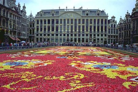
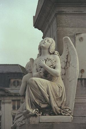
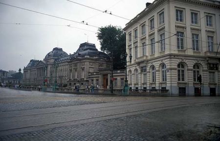
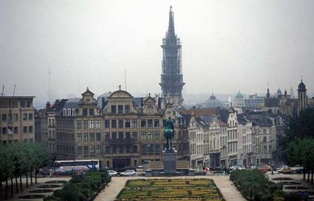
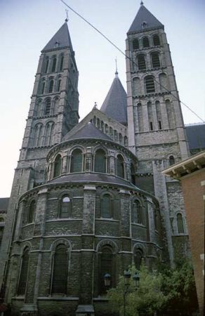
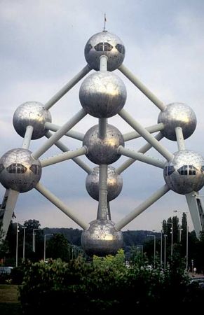
Pictures near Brasschaat Air Base, Belgium


Do you have a travel question?
Ask your question about travel on our Forum
Ask your question about travel on our Forum