Hat Tux Heliport

Information about airport - Hat Tux Heliport, Austria

Description Value
IATA
(International Air Transport Association airport code)
No IATA code
Type Heliport
Local airport code -
GPS airport code LOJT
Longitude 47.1338882446
Latitude 11.704167366

Cities near Hat Tux Heliport, Austria

City, country Distance (km)
Innsbruck 27.16 km

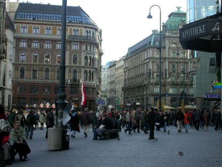
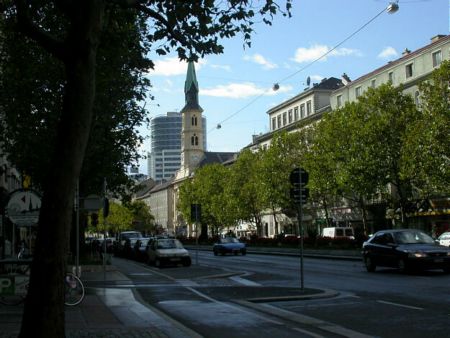
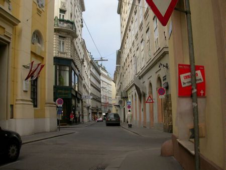
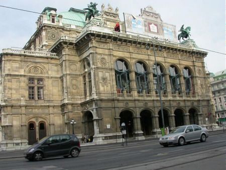
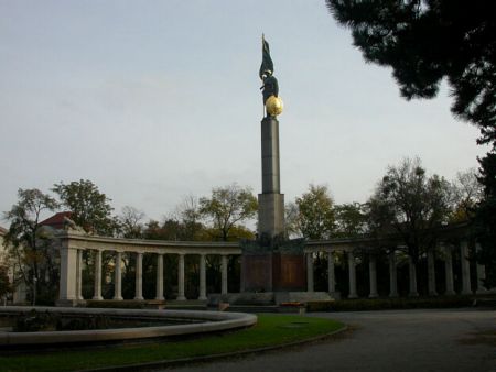
Pictures near Hat Tux Heliport, Austria

Schneebedeckte Bäume Der Schlegeis-Stausee ist ein beliebter Ausgangspunkt für Wanderungen. Ich bin hier oben so gerne am Stausee Blick von der Hängebrücke Rötboden Höllenstein
 
"Die Sonne am Schigebiet Schwendau - Horberg, über einem Schneefeld das aussieht wie die Orangenhaut einer Frau" Hintertux Junssee - Tux Torsee Nasse Tux Naturpark Zillertaler Alpen Gipfelkreuz Rastkogel Zillertal
 
Schraubenwasserfall Hintertux Eiskarsee Hintertux - gentians im Zemmgrund Teich bei der Grieralm
 
Alm im Zemmgrund / Ginzling Grüß Gott Austrian way of storing wood Marterl am Geiseljoch Kasern mit Blick auf den Kleinen Kaserer  Richtung Olperer
 

Pictures of Hat Tux Heliport
Book hotel
From:
Until:

Photo gallery

Austria, Vienna