-
Países Bajos
- más detalles país
- Afganistán
- Albania
- Alemania
- Andorra
- Angola
- Anguilla
- Antigua y Barbuda
- Antillas Neerlandesas
- Arabia Saudita
- Argelia
- Argentina
- Armenia
- Aruba
- Australia
- Austria
- Azerbaiyán
- Bahamas
- Bahrein
- Bangla Desh
- Barbados
- Belice
- Benín
- Bermudas
- Bhután
- Bielorrusia
- Bolivia
- Bosnia - Herzegovina
- Botswana
- Brasil
- Brunei
- Bulgaria
- Burkina Faso
- Burundi
- Bélgica
- Cabo Verde
- Caimán, islas
- Caledonia, Nueva
- Camboya (Kampuchea)
- Camerún
- Canadá
- Chad
- Checa, República
- Chile
- China
- Chipre
- Christmas, Isla
- Cocos (Keeling), Islas
- Colombia
- Comores
- Congo, República Democrática del
- Congo, República Popular del
- Corea del Norte
- Corea del Sur
- Costa de Marfil
- Costa Rica
- Croacia
- Cuba
- Dinamarca
- Djibouti (Yibuti)
- Dominica
- Dominicana, República
- Ecuador
- Egipto
- El Salvador
- Emiratos Árabes Unidos
- Eritrea
- Eslovaquia
- Eslovenia
- España
- Estados Unidos
- Estonia
- Etiopía
- Falkland, Islas (Islas Malvinas)
- Feroe, Islas
- Fidji
- Filipinas
- Finlandia
- Francia
- Gabón
- Gambia
- Georgia
- Ghana
- Gibraltar
- Grecia
- Grenada
- Groenlandia
- Guadalupe
- Guam
- Guatemala
- Guayana Francesa
- Guernsey
- Guinea
- Guinea Ecuatorial
- Guinea-Bissau
- Guyana
- Haití
- Honduras
- Hong Kong
- Hungría
- India
- Indonesia
- Irak (Iraq)
- Irlanda
- Irán
- Islandia
- Islas Cook
- Israel
- Italia
- Jamaica
- Japón
- Jersey
- Jordania
- Kazajstán
- Kenia
- Kirguizistán (Kirguizia)
- Kiribati
- Kuwait
- Laos
- Lesotho
- Letonia
- Liberia
- Libia
- Liechtenstein
- Lituania
- Luxemburgo
- Líbano
- Macao
- Macedonia (antigua república federada de Yugoslavia)
- Madagascar
- Malasia
- Malawi
- Maldivas
- Malta
- Malí
- Marianas Septentrionales
- Marruecos
- Marshall, Islas
- Martinica
- Mauricio
- Mauritania
- Mayotte (Mahoré)
- Micronesia, Estados Federados de
- Moldavia
- Mongolia
- Montenegro
- Montserrat
- Mozambique
- Myanmar
- México
- Mónaco
- Namibia
- Nauru
- Nepal
- Nicaragua
- Nigeria
- Niue (Savage)
- Norfolk, Isla
- Noruega
- Nueva Zelanda
- Níger
- Omán
- Pakistán (Paquistán)
- Palau
- Panamá
- Papúa y Nueva Guinea
- Paraguay
- Países Bajos
- Perú
- Pitcairn, Islas
- Polinesia Francesa
- Polonia
- Portugal
- Puerto Rico
- Qatar
- Reino Unido de Gran Bretaña e Irlanda
- República Centroafricana
- Reunión
- Ruanda (Rwanda)
- Rumania
- Rusia
- Sahara Occidental
- Saint Helena (Santa Elena)
- Salomón, Islas
- Samoa
- Samoa Norteamericana
- San Cristóbal y Nevis
- San Marino
- San Pedro y Mequelón
- San Vicente y Granadinas
- Santa Lucía
- Santo Tomé y Príncipe
- Senegal
- Serbia
- Seychelles
- Sierra Leona
- Singapur
- Siria
- Somalia
- Sri Lanka (Shri Lanka)
- Sudáfrica
- Sudán
- Suecia
- Suiza
- Surinam
- Svalbard
- Swaziland
- Tailandia
- Taiwán
- Tanzania
- Tayikistán
- Timor Oriental
- Togo
- Tokelau
- Tonga
- Trinidad y Tobago
- Turkmenistán
- Turks y Caicos, Islas
- Turquía
- Tuvalu
- Túnez
- Ucrania
- Uganda
- Uruguay
- Uzbekistán
- Vanuatu
- Venezuela
- Vietnam
- Vírgenes Estadounidenses, Islas
- Wallis y Futuna
- Yemen
- Zambia
- Zimbabwe
-
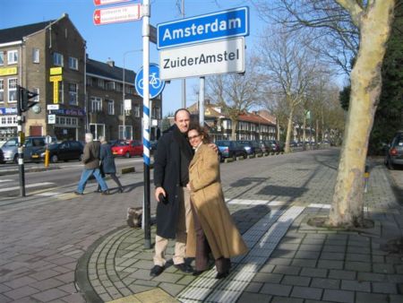
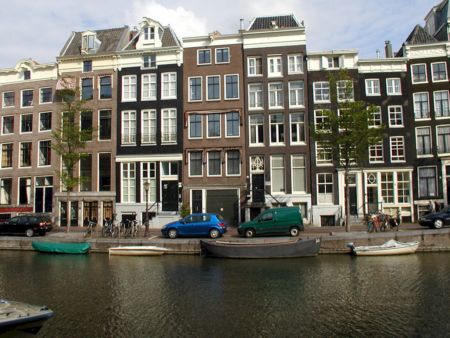
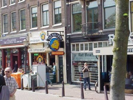
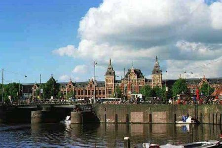
Amsterdam
- más detalles ciudad
- Aalten
- Alkmaar
- Almelo
- Almere
- Amersfoort
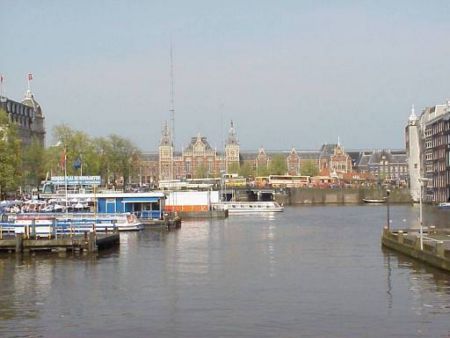
- Amsterdam
- Apeldoorn
- Arnhem
- Assen
- Asten
- Baarle-nassau
- Barneveld
- Beverwijk
- Bladel
- Boxmeer
- Breda
- Brouwershaven
- Buitenpost
- Burgh
- De Waluwe
- Delft
- Delfzijl
- Den Burg
- Den Helder
- Deurne
- Doetinchem
- Dokkum
- Dordrecht
- Dronten
- Dventer
- EPEEpe
- Ede
- Eibergen
- Eindhoven
- Emmeloord
- Emmen
- Enkhuizen
- Enschede
- Geldermalsen
- Geleen
- Gemert
- Gennep
- Gilze
- Goes
- Goirle
- Goor
- Gorinchem
- Gouda
- Groningen
- Haaksbergen
- Haarlem
- Hardenberg
- Harderwijk
- Harlingen
- Heerenveen
- Heerlen
- Hengelo
- Hertogenbosch
- Hilvarenbeek
- Hoeven
- Hoofddorp
- Hoogeveen
- Hooghuis
- Hoorn
- Kampen
- La Haya
- Leerdam
- Leeuwarden
- Leiden
- Lelystad
- Lichtenvoorde
- Lisse
- Lochem
- Maastricht
- Mapa de Hilversum
- Meppel
- Middelbeers
- Middelburg
- Middelharnis
- Nieuwegein
- Nieuwerkerk
- Nijmegen
- Nijverdal
- Ommen
- Oosterhout
- Oosterland
- Oosterwolde
- Oss
- Purmerend
- Raalte
- Roden
- Roermond
- Roosendaal
- Rotterdam
- Sittard
- Sneek
- Stadskanaal
- Steenbergen
- Steenwijk
- Stogger
- Terneuzen
- Tiel
- Tilburg
- Uddel
- Uden
- Uithoorn
- Ulft
- Uplengen
- Utrecht
- Valkenswaard
- Veendam
- Veghel
- Venlo
- Venray
- Weert
- Winschoten
- Winterswijk
- Wolvega
- Zaanstad
- Zierikzee
- Zoetermeer
- Zoom op de Bergen
- Zuidhorn
- Zutphen
- Zwolle
- Contactos