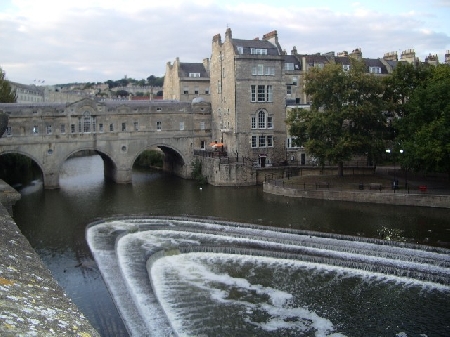
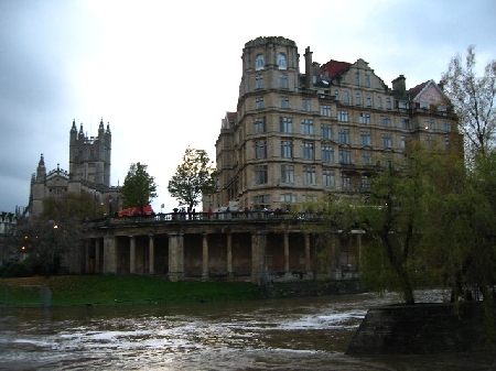
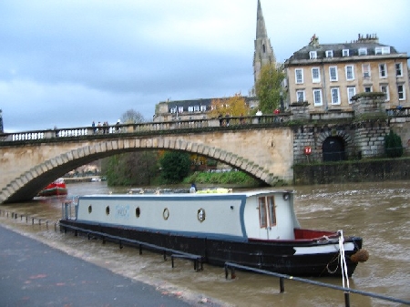
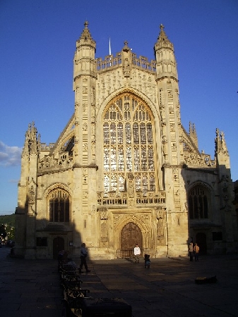
Distance from Bath to Hoeven
Distance information from Bath, United Kingdom to Hoeven
Geographical distance from Bath to Hoeven 481.18 kilometers
298.7 seven miles
259.72 nautical miles
Road distance from Bath to Hoeven
Distance on the map From Bath, United Kingdom to Hoeven
Closest distances from Bath, United Kingdom
| City | Distance |
| Keynsham | 10.45 km |
| Chipping Sodbury | 17.7 km |
| Bristol | 18.01 km |
| Nailsworth | 36.27 km |
| Weston-super-Mare | 43.12 km |
| Shaftesbury | 43.28 km |
| Cheltenham | 60.65 km |
| Bridgend | 85.99 km |
| Maesteg - Wales | 93.72 km |
| Porthcawl - Wales | 93.99 km |
| Birmingham | 126.61 km |
| Sandwell | 127.85 km |
| Coventry | 127.9 km |
| Milton Keynes | 134.01 km |
| London | 155.34 km |
| Leicester | 162.64 km |
| Brighton | 166.68 km |
| Plymouth | 167.33 km |
| Derby | 181.5 km |
| Tunbridge Wells | 184.43 km |
| Nottingham | 193.12 km |
| Saint Peter Port | 214.24 km |
| Liverpool | 229.57 km |
| Sheffield | 230.68 km |
| Bury St Edmunds | 231.69 km |
| Colchester | 232.03 km |
| Manchester | 233.45 km |
| Bolton | 244.41 km |
| Saint Helier | 245.28 km |
| Dover Kent | 257.05 km |
Select city to calculate distance from Bath, United Kingdom
Check distances from Hoeven
| City | Distance |
| Hooghuis | 3.92 km |
| Roosendaal | 9.52 km |
| Breda | 13.38 km |
| Steenbergen | 18.44 km |
| Oosterhout | 20.29 km |
| Bergen op zoom | 22.72 km |
| Dordrecht | 24.11 km |
| Gilze | 25.28 km |
| Baarle-nassau | 28.25 km |
| Goirle | 33.63 km |
Do you have a travel question?
Ask your question about travel on our Forum
Ask your question about travel on our Forum