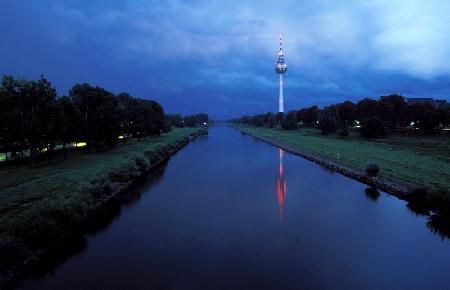
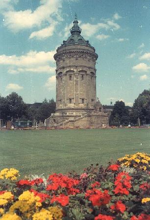
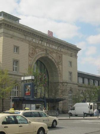
Distance from Mannheim to Jelgava
Distance information from Mannheim, Germany to Jelgava
Geographical distance from Mannheim to Jelgava 1288.58 kilometers
799.85 seven miles
695.46 nautical miles
Road distance from Mannheim to Jelgava
Distance on the map From Mannheim, Germany to Jelgava
Closest distances from Mannheim, Germany
| City | Distance |
| Ludwigshafen | 5.44 km |
| Heidelberg | 16.96 km |
| Darmstadt | 44.94 km |
| Karlsruhe | 53.41 km |
| Mainz | 58.5 km |
| Heilbronn | 65.65 km |
| Wiesbaden | 68.2 km |
| Pforzheim | 68.32 km |
| Frankfurt am Main | 70.88 km |
| Offenbach | 71.21 km |
| Stuttgart | 93.87 km |
| Saarbrucken | 109.53 km |
| Wurzburg | 112.19 km |
| Strasbourg | 113.84 km |
| Koblenz | 115.82 km |
| Reutlingen | 121.4 km |
| Trier | 135.82 km |
| Siegen | 158.1 km |
| Ulm | 163.31 km |
| Luxembourg | 169.96 km |
| Bonn | 170.08 km |
| Freiburg | 171.62 km |
| Metz | 171.69 km |
| Furth | 178.51 km |
| Erlangen | 183.22 km |
| Nuremberg | 188.28 km |
| Nancy | 188.86 km |
| Bergisch Gladbach | 193.27 km |
| Cologne | 194.43 km |
| Leverkusen | 202.29 km |
Select city to calculate distance from Mannheim, Germany
Check distances from Jelgava
| City | Distance |
| Dobele | 27.11 km |
| Jurmala | 34.98 km |
| Bauska | 39.68 km |
| Riga | 40.54 km |
| Tukums | 49.6 km |
| Ogre | 57.35 km |
| Naujoji Akmene | 74.74 km |
| Saldus | 75.23 km |
| Birzai | 80.48 km |
| Saulkrasti | 80.66 km |
Do you have a travel question?
Ask your question about travel on our Forum
Ask your question about travel on our Forum